
Fort Pierce ZIP Directory Coverage
Fort Pierce postal geography reaches well past the compact city. The verified residential areas below come from USPS routing evidence, St. Lucie County material, and local parcel mapping. A postal designation does not settle municipal jurisdiction. ZIPs 34948 and 34979 appear in routing material, but their current street, box, or unique status was not verified, so they should not be mapped as residential areas without an address result.
| ZIP Code | Areas Covered | Post Office | Notes |
|---|---|---|---|
| 34945 | Western and rural Fort Pierce-address area | Verify exact facility with USPS | Large postal area west of compact city |
| 34946 | North Fort Pierce and Fort Pierce North | Fort Pierce postal designation | Crosses city and unincorporated land |
| 34947 | West and northwest urban Fort Pierce | Fort Pierce postal designation | Includes city and nearby postal territory |
| 34949 | Fort Pierce Beach and Hutchinson Island | Fort Pierce postal designation | Check coastal parcels one by one |
| 34950 | Downtown and the central core | Orange Avenue Station | Core ZIP, but not the city boundary |
| 34951 | Lakewood Park and north county | Fort Pierce postal designation | Much lies outside the city |
| 34954 | City and Clerk mailing or box use | PO-box usage | Verify any claimed street delivery |
| 34981 | Southwest, south, and Midway Road area | Fort Pierce Post Office, Midway Road | Extends into unincorporated county |
| 34982 | South Fort Pierce and Indian River Estates corridor | Fort Pierce postal designation | City, county, and adjacent-city mismatch |
The Fort Pierce ZIP code directory therefore uses confidence labels rather than pretending every code is a neat neighborhood. The current USPS ZIP Code Lookup is the final authority for one deliverable address. The Fort Pierce facility at 5000 West Midway Road is listed as 34981-9998, while city and Clerk box addresses often use 34954 even though their public counters sit in 34950.
Verify a Fort Pierce ZIP
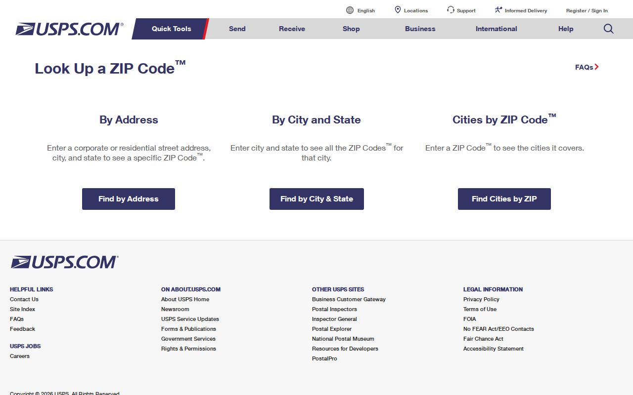
Use USPS before searching any local roll. Enter a full street address when one is known; the city-and-state mode is best for discovering possible codes, not assigning one to a parcel. Copy the standardized result, including directionals, unit information, and ZIP+4. A generic online ZIP list may be stale or may mix box and street service.
The official USPS screen provides both address-to-ZIP and city/state search paths:
Next, search the Property Appraiser by the same site address. Compare SiteZIP with the owner's MailZipCode. They can differ because one locates the land and the other routes tax correspondence.
Fort Pierce 34950 Records Core
ZIP 34950 covers downtown and much of central Fort Pierce. It includes the county-seat records core, where the Clerk's main office and many city functions are located. That makes it a useful starting area for courthouse, business, property, and civic research. Yet even this core code should not substitute for a city-boundary check.
Older addresses need extra care. Fort Pierce uses north and south numbered streets, lettered avenues, highways, causeways, beach roads, and subdivision plats. The 1909 courthouse stood on South Second Street when the road was still called Pine Street. Legal descriptions and plats survive street-name changes, so copy the parcel ID and lot or block data when an old address fails.
Fort Pierce 34949 Coast
ZIP 34949 follows Fort Pierce Beach and the Hutchinson Island oceanfront area. Barrier-island searches often involve coastal plats, causeway-era growth, condominium parcels, and addresses whose postal identity is clearer than their government boundary. Check each parcel. Do not assume every 34949 address receives the same city service or appears in the same permit system.
For historical work, start with the current parcel's legal description, then inspect recorded plats and deeds. That method holds when a building name, unit numbering, road form, or shoreline development has changed.
Fort Pierce Outer ZIP Areas
Codes 34945, 34946, and 34951 show why the words “Fort Pierce” on mail do not prove city residence. The western 34945 area is broad and rural. The north 34946 area crosses city and unincorporated land. Lakewood Park in 34951 can carry a Fort Pierce postal city while lying outside the municipality.
South and southwest codes have the same issue. ZIP 34981 reaches the Midway Road area and county institutions, while 34982 follows the south Fort Pierce and Indian River Estates corridor toward Port St. Lucie. Look for the parcel inside the PASLC City Boundaries layer before choosing a city permit search or a county office.
Note: A Fort Pierce mailing city is a delivery convention, not evidence that Fort Pierce city government holds the address record.
Search Fort Pierce Residents by ZIP
A ZIP code directory can reduce a countywide search area, but not every official portal offers a ZIP field. PASLC publishes SiteZIP and MailZipCode in parcel data, and its GIS supplies ZIP Codes and City Boundaries layers. The public property search is strongest for a site address, owner, or parcel ID. The elections acquisition form filters by city or precinct and district, not by a verified ZIP field. Fort Pierce Civic Access searches an address or record number rather than a confirmed ZIP-wide mode.
- Verify the complete address in USPS and save its standardized form and ZIP+4.
- Resolve the same site address in PASLC. Record SiteZIP, owner MailZipCode, parcel ID, and legal description as separate facts.
- Open the parcel map and turn on ZIP Codes and City Boundaries. Confirm whether the land sits inside Fort Pierce.
- Use the parcel layer for ZIP-wide selection only where the public client allows it. The result describes parcels and owners, not all residents.
- Move from the ZIP to an exact address. Use city or county permit and records systems based on the verified jurisdiction.
Once the search reaches a named road, use the Fort Pierce street directory for the street-level parcel and deed workflow. Avoid turning a ZIP-wide owner list into claims about household occupancy.
Fort Pierce Postal Search Fields
Three systems answer three different ZIP questions. Keep their fields separate to avoid treating a mailing address as the parcel location.
| System | Useful input | Returned ZIP fact | Limit |
|---|---|---|---|
| USPS ZIP Lookup | Street address, city and state | Standard delivery ZIP and ZIP+4 | Does not establish city limits |
| PASLC property data | Site address, owner or parcel ID | SiteZIP and owner MailZipCode | Owner record is not a resident roll |
| PASLC GIS | Address, owner, parcel and map layers | ZIP polygon beside city boundary | Layer visibility and export limits apply |
| Sunbiz | ZIP code or street address | Business filings tied to an address | An officer or agent need not live there |
The Property Appraiser's parcel services also publish PropertyID and ParcelID. Copy both exactly. The research found no official digit-by-digit decoding rule, so do not infer meaning from the number pattern.
Fort Pierce ZIP Business Search
Sunbiz offers ZIP Code and Street Address modes alongside entity, officer, registered-agent, fictitious-name, and document-number searches. A ZIP result can identify entities with a principal, mailing, or agent address in a Fort Pierce postal area. Open the detail to see which address field matched and compare the filing number, status, annual reports, and public document images.
Fort Pierce changed its local business layer on July 1, 2024. Ordinance 24-019 replaced city Business Tax Receipts with a Certificate of Use, while St. Lucie County still requires its own Business Tax Receipt. Sunbiz answers the state entity question, the county receipt answers a county tax question, and the city certificate answers whether a business location has current municipal authorization. None proves that an officer lives at the address.
Map Fort Pierce ZIP Boundaries
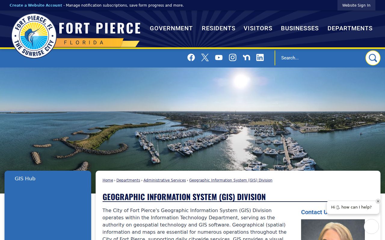
The Fort Pierce GIS Division is the city's mapping repository, while the county Property Appraiser supplies parcel-centered ZIP and city-boundary layers. The city GIS page is a useful route to municipal maps:
The city census-tract map labels Fort Pierce North, Fort Pierce South, White City, Indian River Estates, Lakewood-area communities, downtown, and the beach. Those names help orient the search, but census tracts and neighborhoods are also not ZIPs. The Community Redevelopment Area is yet another boundary and cannot be inferred from “downtown” or a postal code.
Fort Pierce ZIPs Versus City Limits
USPS ZIP codes organize mail delivery. Fort Pierce city limits determine which municipal government serves a parcel. St. Lucie County offices still hold countywide property, deed, court, and election records. A Fort Pierce postal address outside the city may belong in county permit, code, and zoning systems, while a parcel inside the city may use a postal label that does not mirror neighborhood identity.
- ZIP and ZIP+4
- The five-digit code names a delivery area; four added digits narrow a delivery segment such as a block or building group.
- PO-box ZIP
- A code used mainly or solely for post-office boxes rather than ordinary street delivery.
- Unique ZIP
- A code assigned to one organization or high-volume recipient. None was verified here as residential territory.
- Carrier route
- A group of delivery stops assigned to one mail route. It is not a neighborhood or government district.
Boundary check. Never use a Fort Pierce ZIP code alone to choose a custodian. Verify USPS delivery, parcel location, and city jurisdiction separately.