
Fort Pierce Neighbor Record Layers
The block around an address appears differently in each official system. The Saint Lucie County Property Appraiser map identifies parcel geometry and stable IDs. Parcel cards name tax owners and separate the site from the owner’s mailing destination. Clerk plats define lots and roads. Election records cover registered voters only, while Fort Pierce programs provide public civic contacts instead of household rosters.
| Source | What It Shows About a Block | Access |
|---|---|---|
| PASLC parcel map | Adjacent parcel shapes and identifiers | Free map; not a legal survey |
| PASLC parcel record | Owner, situs/mail fields, values, exemptions and improvements | Free search; not occupants |
| Optional GIS layers | Subdivision, city, ZIP, zoning, flood and district geography | Free layer controls |
| Clerk deeds and plats | Title history and common lot/block context | Online indexes plus counter fallback |
| Supervisor voter extract | Releasable registered-voter data sortable by street or household | Official request, quote and exemptions |
| Fort Pierce permits and code | Address-linked activity and official notices | Civic Access or records request |
| Crime Watch and FPRA | Programs, public contacts, meetings and planning geography | Public pages; no promised member roster |
Use these layers to answer a narrow geographic question. An owner list is not a Fort Pierce neighbors list. A tax mailing address may point away from the parcel, a homestead exemption is only an owner-occupancy clue, and one apartment parcel may represent many homes.
Click Around a Fort Pierce Block
Resolve the target with the Property Appraiser search and copy its ParcelID. Choose Map and Tools or open the PASLC tax map. Turn on parcel and lot lines. Blocks, subdivisions, the city boundary, ZIP, flood, zoning, or council-district layers may help, but label which boundary is being viewed because they do not coincide.
- Confirm the exact site address and stable ParcelID before opening the map.
- Zoom until parcel polygons around the target are clear.
- Click the polygon immediately left, right, and across the road, then open each linked parcel report.
- Log every parcel separately, including corners, vacant lots, split land, alleys, and stacked condominium units.
- Compare subdivision and lot/block references, then add deed or permit facts only when needed.
Sequential house numbers are unreliable on corners, near canals, or where lots were combined. A polygon is better for adjacency, though PASLC says its map is a courtesy and not a survey. For a whole named road rather than the immediate ring, use the Fort Pierce street directory.
Note: Record the roll date and portal inspection date so later readers can tell when each owner and parcel field was current.
Build a Fort Pierce Block Table
A restrained worksheet helps prevent owners from being mislabeled as neighbors who live onsite. Keep target or adjacent position, ParcelID, situs, owner name as indexed, subdivision and lot/block, latest transfer reference, and a short uncertainty note. Add the tax-mail city and state only when it answers the geographic question. A suppressed field should remain suppressed.
| Field | Why Retain It |
|---|---|
| ParcelID or PropertyID | Keeps the record stable when an address changes |
| Situs | Identifies the assessed site rather than the mailing destination |
| Owner as indexed | Reports the tax-roll party without claiming occupancy |
| Subdivision, lot and block | Tests whether nearby parcels share recorded geography |
| Transfer book/page | Connects a relevant parcel to Clerk title records |
| Uncertainty note | Flags a condo, duplex, corner, split parcel, or hidden field |
Condominiums may appear as one parent outline, common elements, or stacked unit parcels. A duplex or apartment may have one owner record but many households. Vacant adjoining polygons may share an owner. Count parcels as parcels, not as people or visible buildings. That distinction is essential when describing your Fort Pierce neighbors.
Fort Pierce Voters by Block
Florida voter-registration information is generally public under Fla. Stat. §97.0585, and the St. Lucie Supervisor of Elections can provide an extract through an official acquisition process. Research indicates releasable records may be sorted by Precinct Street or Household. That is not the same as typing any address into the personal My Voter Record form, which is meant to verify a voter’s own status and districts.
A voter extract includes registered voters within its requested scope, not every resident. Social Security numbers, driver-license or state-ID numbers, registration-source details, and protected records remain confidential. A signature is exempt from copying, and preregistered minors’ information is confidential. Address Confidentiality Program participants and people covered by statutory exemptions may receive broader protection. Ballot choices are secret and never part of a neighbor record.
Keep the limits visible. State clearly that public voter data omits unregistered residents and protected voters and never reveals how anyone voted.
Fort Pierce Community Contacts
Verified Fort Pierce community sources are contact and program layers, not lists of local households. The city’s Police Crime Watch describes block-based crime-prevention participation, while the Fort Pierce Redevelopment Agency publishes planning boundaries, projects, meetings, and public contacts. Main Street Fort Pierce identifies downtown institutions and events. A publicly named officer or agent represents an organization; it does not prove that person lives at any particular address.
Neighborhood Watch
Fort Pierce Police Crime Watch
Citywide program information
No public member roster promised
Community Response
Fort Pierce Community Response
Neighborhood and city assistance contacts
Use public representatives
Redevelopment Areas
Fort Pierce Redevelopment Agency
Downtown, west of Seventh Street, Port and Beaches areas
Planning boundaries, not an HOA
Downtown Network
Main Street Fort Pierce
Public merchant and civic information
Not a household directory
The city source offers a public starting point for Fort Pierce neighbors and local programs.
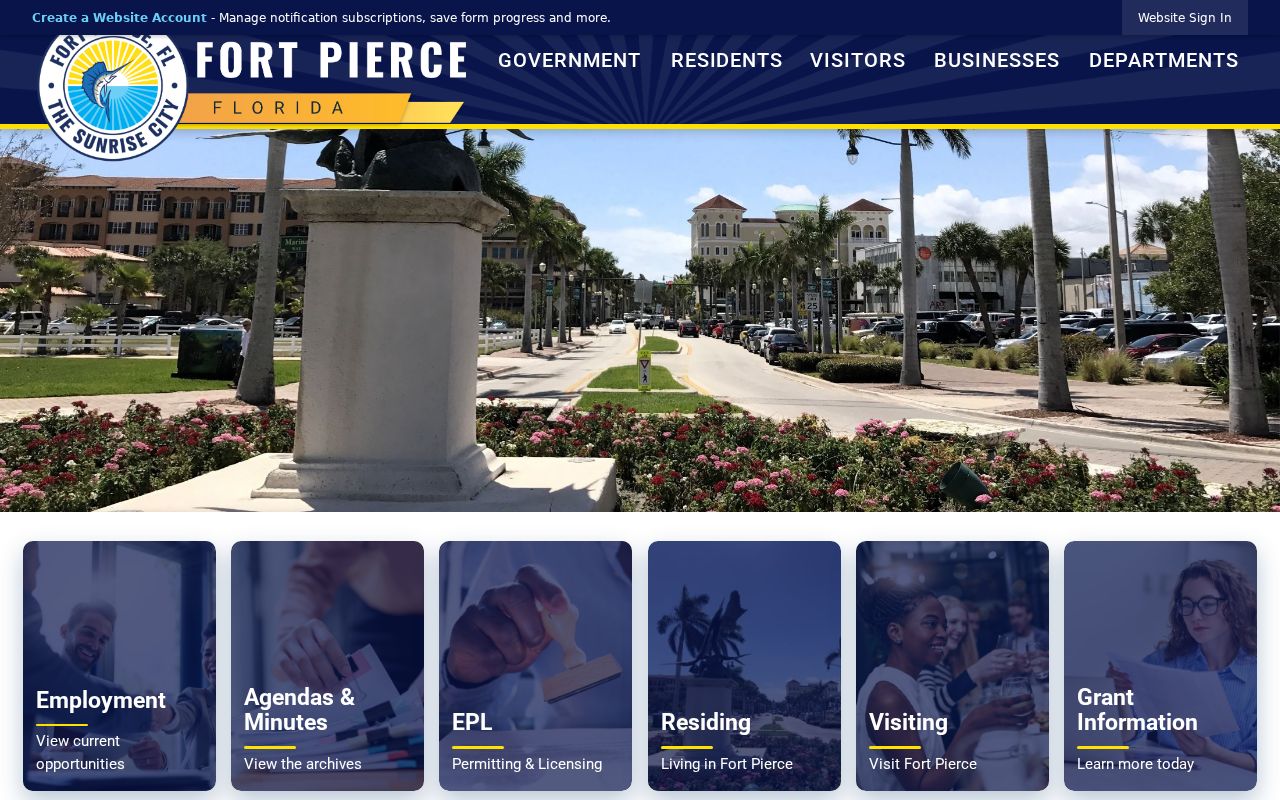
Use its program links for official contacts, then ask whether a public representative list exists rather than seeking a private distribution list.
The Community Response page narrows that route to neighborhood help.
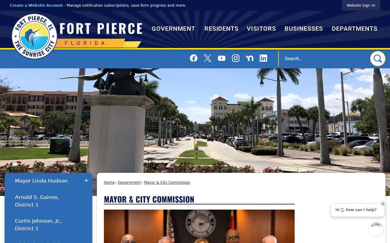
It supports civic contact without turning a program into an unsupported resident directory.
Check Fort Pierce Civic Groups
No authoritative citywide inventory of neighborhood associations or public HOA member directories was found. Do not invent association names or imply that a private HOA must disclose members. If a condominium or homeowners’ association name is known, search Sunbiz for its legal entity and public officers or registered agent. Then search St. Lucie Official Records for declarations, covenants, amendments, and plats linked to the entity or subdivision.
City Commission and FPRA agendas may mention an informal neighborhood group. A speaker’s name proves participation at that meeting, not residence or ongoing membership. Fort Pierce planning areas such as Lincoln Park, downtown, the Port, South Beach, Peacock Arts District, Old St. Anastasia, and Western Peninsula are useful place labels, but they are not interchangeable with HOAs, ZIP codes, precincts, subdivisions, or council districts.
Fort Pierce Crime Watch is another public program route.
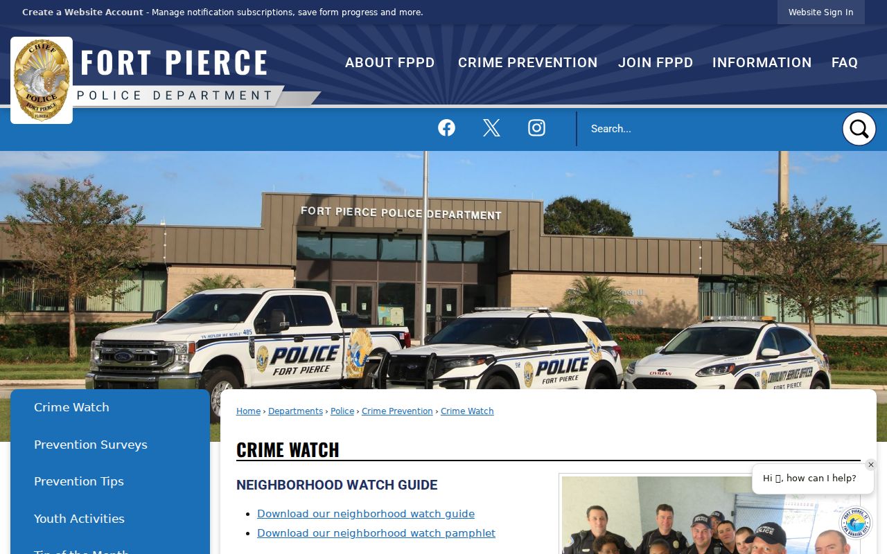
The program page can help residents organize around safety while keeping private participant details out of a block inventory.
Main Street Fort Pierce supplies a voluntary downtown organization layer.
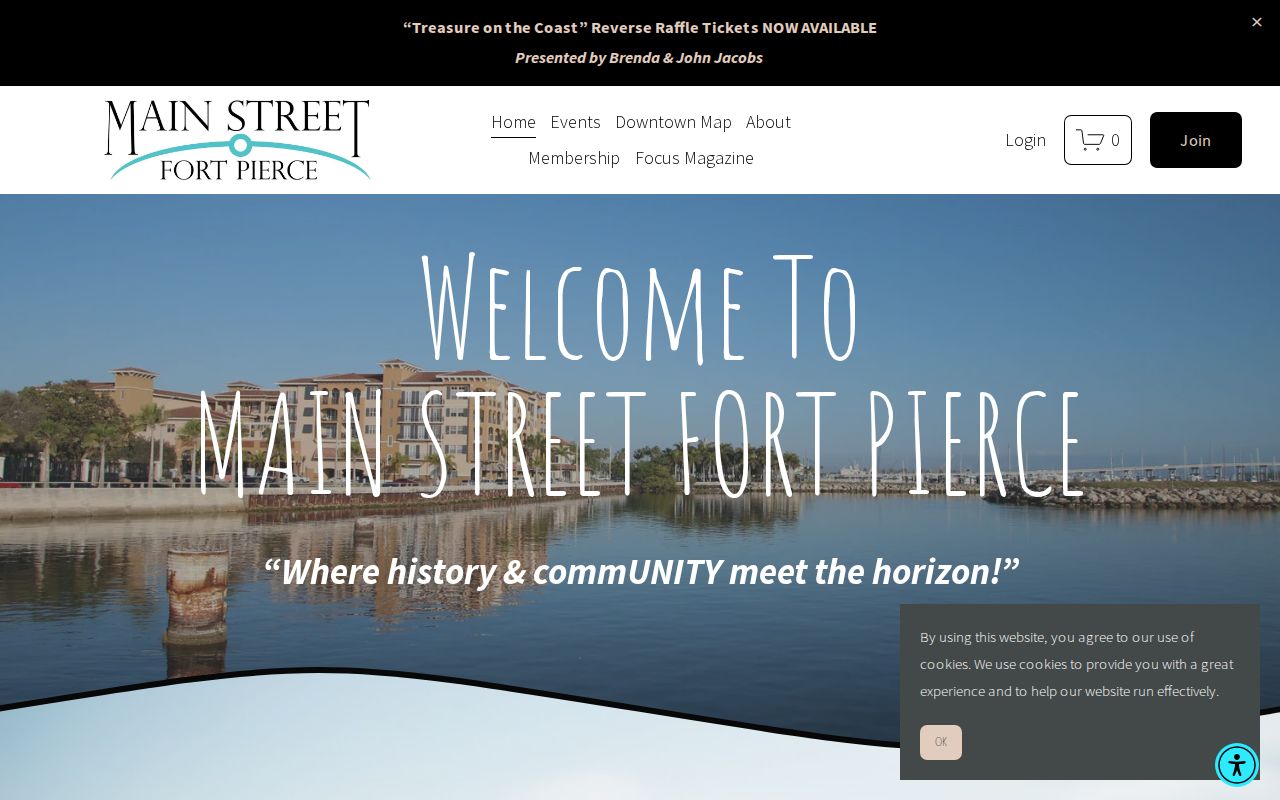
Its published contacts describe civic and business participation, not who occupies nearby homes.
Compare Fort Pierce Lots and Activity
Clerk plats explain how a block was legally divided. Compare the subdivision, lot, block, roads, and dedications across adjacent parcels. A corner house may have a situs on the cross street, and an alley or right-of-way may separate places that look adjacent. Deeds add title history, while a common legal description can show whether two names relate to the same parcel rather than merely the same street.
Fort Pierce Civic Access searches permits and code cases by address or record number. New online submittals moved to EPL on July 15, 2024, and Click2Gov stopped functioning February 1, 2026. Older or missing records require Building contact or a public-record request. Preserve the role attached to a name: an owner, applicant, contractor, inspector, or notice recipient is not automatically an occupant.
This combined parcel, plat, and activity view is useful for shared-boundary questions, historic-block reconstruction, and contacting a designated civic representative. It should never become a compiled private-person dossier.
Official Fort Pierce Neighbor Sources
Official rolls and commercial neighbor tools answer different questions. County and city records identify their custodian, date, field meanings, and legal limits. Commercial tools blend public and private inputs, may preserve stale names, and can merge unrelated households. They should not override a current parcel card, recorded plat, or direct statement from the relevant office.
| Question | Official Source | Commercial Category |
|---|---|---|
| Which parcels touch? | PASLC map with stable parcel IDs | May rely on address proximity |
| Who holds title? | Tax roll plus recorded deed | May retain an earlier owner |
| Who lives there? | No complete public block roster | May infer or merge households |
| Who represents a group? | Public program, filing, or officer contact | May confuse members and contacts |
When records conflict, return to the custodian and date of the official record. Keep uncertainty visible rather than filling gaps with an inference.
Protect Fort Pierce Neighbors
A parcel map cannot reveal every person on the block. Renters, minors, non-owner relatives, utility customers, delivery recipients, and many multi-unit households do not appear on the owner roll. Florida’s Address Confidentiality Program provides qualifying victims of domestic violence or stalking a substitute mailing address. Separate occupation- and victim-based exemptions may protect addresses and related personal facts after the required request to each custodian.
Do not reconstruct a hidden address from another source. Utility and motor-vehicle personal data are not ordinary public neighbor directories. Public association officers, meeting speakers, and permit applicants should remain tied to those roles. The safest result is a map of parcels, public ownership, legal block context, and voluntary civic contacts, not a claim about every household.
Lawful use. Use Fort Pierce neighbor records for boundaries, local history, civic questions, or public contacts. Never use them to watch, intimidate, harass, or harm anyone.