
Walk a Fort Pierce Street
A sound Fort Pierce street directory search moves from the address to records keyed in different ways. The Saint Lucie County Property Appraiser is the first bridge from a site address to an owner and parcel ID. Its result can open a record card, tax notice, sales links, and a map. It does not list every person in a home. Keep the parcel ID because names and street labels can change while the legal parcel remains stable.
Follow the address in a set order. Save each result before moving on, and treat a missing online hit as a reason to use an office or request channel.
- Enter the site address. Use the house number and street name, then select the matching suggestion.
- Open the parcel card. Record the owner, parcel ID, legal description, mailing address, exemptions, and transfers.
- Inspect nearby parcels. Open the county map and click lots in street order.
- Follow recorded sales. Carry book, page, instrument, and party names into the Clerk index.
- Test current clues. Use voter status only for a known person and within Florida access limits.
- Move into older sources. Ask the library for address directories, newspapers, census access, and local-history files.
Two independent records are safer than one. A parcel card and recorded deed can support ownership, but neither proves that the owner occupies the home. A directory entry is also a dated observation, not a current household list.
Fort Pierce Property Search Fields
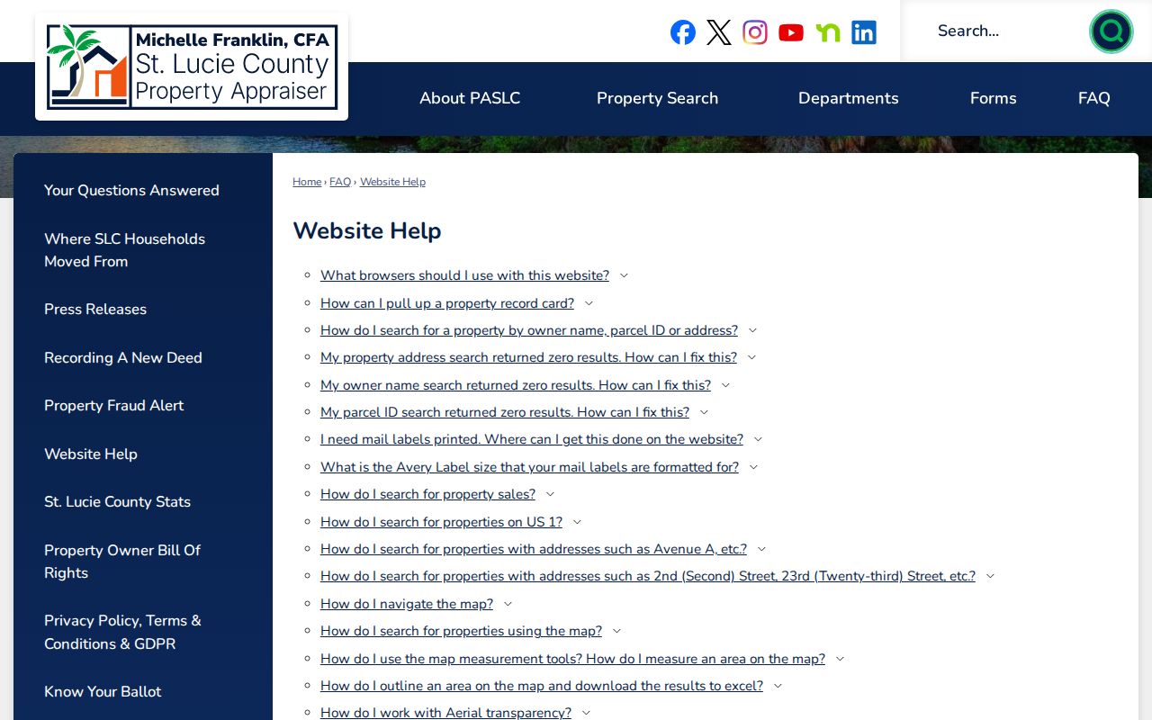
The Property Appraiser supports three direct routes plus a map. The official website help explains how each key works. Address autocomplete is useful when a suffix or direction is uncertain. An owner search can recover parcels after a name is known, while parcel ID is the cleanest exact key.
| Search key | Best use | Format note |
|---|---|---|
| Owner name | Find parcels tied to a named owner | Try surname or business variants |
| Site address | Open the assessed land or building | Select the suggested match |
| Parcel ID | Reach one exact account | Copy it from a card or notice |
| Map | Browse nearby lots | Zoom and click a parcel report |
The result may link to the record card, TRIM notice, map, sales, exemptions, values, and building facts. TRIM is Florida's proposed property-tax notice. It is not a deed or proof of residence.
The county's illustrated help page shows the controls available before a Fort Pierce by-address search.
Fort Pierce Situs Versus Mailing
A situs address is the location of the assessed land or building. The owner mailing address is where tax mail goes. The two may match, but a remote mailing address can mean an owner lives elsewhere, uses a business address, or receives mail through another contact. It cannot identify renters or other household members.
- Parcel
- A mapped unit of land with its own county identifier.
- Situs address
- The physical address assigned to the property being assessed.
- Plat
- A recorded map that divides land into lots, blocks, streets, or tracts.
- Criss-cross directory
- A directory arranged by address or phone rather than only by surname.
Homestead status is an owner-occupancy clue, not final proof. Compare names, dates, sale records, and the deed image before stating who owned a Fort Pierce parcel at a given time.
Browse Fort Pierce Parcels
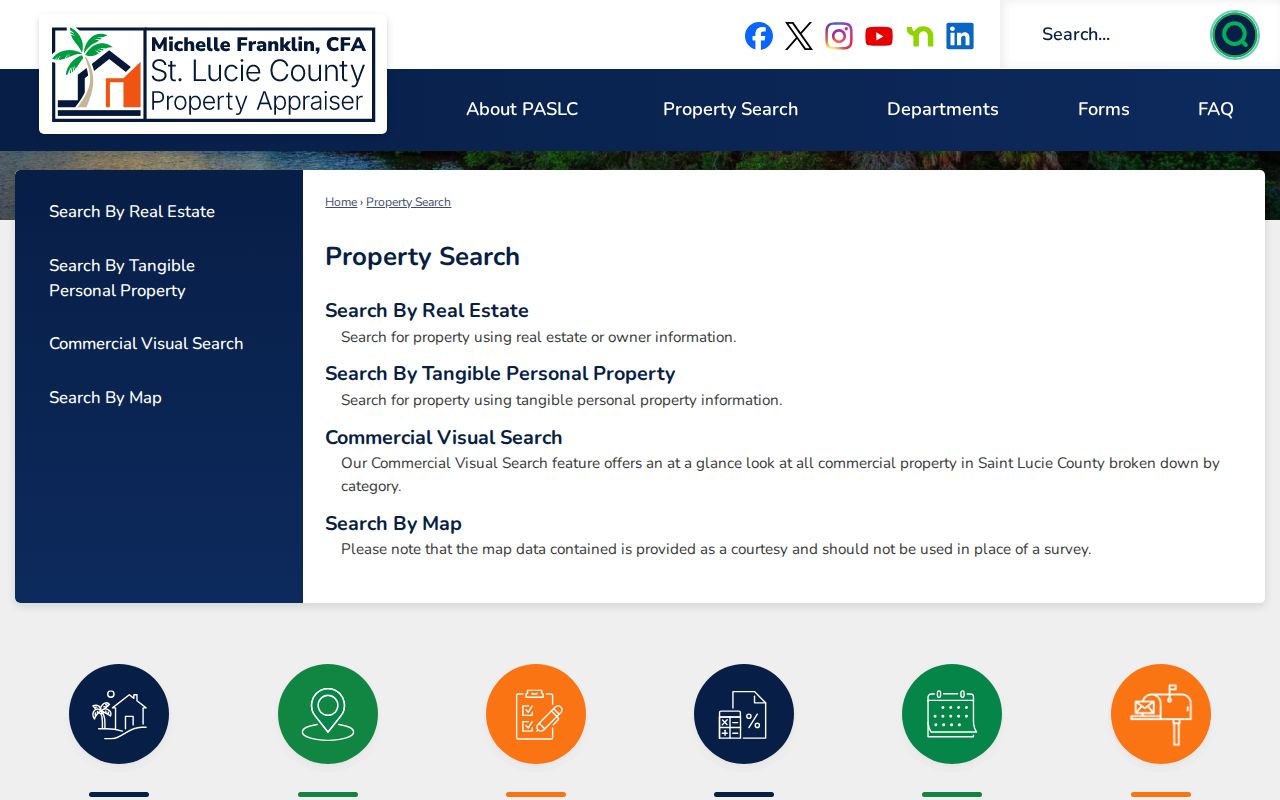
The Property Appraiser's map search can locate a parcel by owner, site address, or parcel ID, then open mapped reports. Clicking one lot and moving along the road helps separate adjacent house numbers, vacant tracts, common areas, and multi-parcel sites. Map lines are aids, not surveys.
The street directory becomes more useful when the parcel card supplies a subdivision, lot, block, and legal description. Those terms can survive a rename. They also connect the map to plats and recorded deeds. Print or note the parcel ID and legal text; an image without those identifiers can be hard to reproduce later.
The Property Search instructions shown here identify the county routes into the roll.
Link Fort Pierce Streets to Deeds
A parcel sale link is a lead into the St. Lucie County Clerk's Official Records Search. Search by party name, book and page, instrument number, document type, or date range where available. A grantor conveys an interest; a grantee receives it. The image may show the legal description, execution facts, and return address.
Coverage is split. Record books begin with the county in 1905, historical deeds span 1905 through 1960, the 1960 through 1979 run is separately labeled, and current guidance says the ordinary online run begins in 1980. A blank modern index result does not settle the question. Ask fourth-floor Research staff at 201 South Indian River Drive, call 772-462-6900, mail or fax the desk, or use the online request form. The form gives a usual two-to-seven-business-day estimate.
Coverage clue. Search each date-range route; older Clerk pages state other cutoffs, while current guidance divides the historical and modern collections.
Fort Pierce Records by Street
No single Fort Pierce street directory contains every name. Address-keyed systems cover ownership, land, transactions, permits, and tax accounts at different dates. Use the record that fits the question, then verify its custodian and date.
| Address source | What it can show | Access |
|---|---|---|
| Property Appraiser | Owner, situs, mailing address, parcel, values, sales | Web search, map, inspection or copy request |
| Clerk Official Records | Deeds, mortgages, liens, plats, judgments | Online indexes, office, mail, fax or request form |
| Tax Collector | Tax bills, payments, certificates | Online inquiry and office help |
| Fort Pierce permits | Permit parties, work, dates, and status | Current EPL portal and Building fallback |
| Historical directories | Dated occupants and businesses when a volume exists | Library and state reference desks |
Ownership and occupancy are distinct. The full historical shelf belongs with the Fort Pierce city directory collections, while a by-street search uses those books only after modern records run out.
Fort Pierce Permits by Address
Fort Pierce moved new online permitting into EPL on July 15, 2024. The legacy Click2Gov portal stopped functioning on February 1, 2026. That cutover matters when an older file seems to vanish. Search the current system, then contact Building staff for pre-cutover records and use the city public-records request channel when the file is not online.
Supply the address, parcel ID, permit type, contractor or owner name if known, and a date range. Permit records can show proposed work and application status. They do not prove who occupied a building. City jurisdiction must also be checked because a Fort Pierce postal label may describe an unincorporated county parcel.
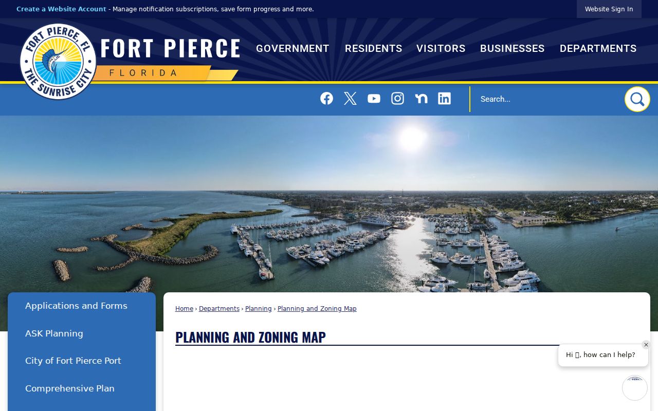
The planning and zoning map shown here helps establish municipal context.
Old Fort Pierce Street Names
Historical address work can fail even when the person never moved. The 1909 county courthouse stood on South Second Street when that road was called Pine Street. Fort Pierce paid $1,500 for the courthouse and jail site. Its four-faced clock had five-foot dials and a 700-pound bell. The 1928 hurricane damaged the dome, which was later removed.
That story gives a practical street directory rule: compare a period map, plat, legal description, newspaper, and directory before translating an old address. The free Library of Congress 1924 Sanborn set has ten sheets and shows building footprints, materials, and use. It does not name residents. County boundaries also shifted after St. Lucie formed in 1905, with later territory going to Okeechobee, Indian River, and Martin counties.
Note: A stable lot, block, subdivision, or deed reference is safer than assuming today's street name and number applied in an earlier year.
Older Fort Pierce Street Listings
For past occupants, ask the Susan Broom Kilmer Branch about directories, phone books, yearbooks, newspapers, microfilm, and obituary help before visiting. Research confirms a combined 1916 Fort Pierce and St. Lucie County directory, but no complete local year run is published online. Search catalog variants such as “Ft. Pierce” and county or multi-city titles.
Pair an address entry with the 1910, 1920, 1930, 1940, or 1950 public census when dates fit. Census adds household ties and ages, while a directory can fill years between counts. The St. Lucie County Tribune began in July 1905 and ran through 1920; legal notices, society items, and ads can bridge weak indexes. Browse page images when OCR misses a street or surname.
Fort Pierce ZIP Is Not City
A Fort Pierce mailing name does not prove that a parcel falls inside city limits. Postal delivery geography reaches unincorporated St. Lucie County, so check the parcel jurisdiction before choosing a permit or code custodian. The parcel map, legal description, and city planning layer are stronger evidence than the mailing label alone.
This distinction affects the entire by-address chain. County offices keep property, tax, deeds, and many court records for the whole county. Fort Pierce keeps its municipal permits, code, police, and administrative records. Give the correct custodian the parcel ID as well as the street address.
Neighborhood names add another layer. Downtown and the central core hold the oldest civic and commercial trails. Lincoln Park, Edgartown, South Beach, Hutchinson Island, Indian River Estates, and Fort Pierce South can point toward different maps, plats, newspapers, or municipal records. Redevelopment boundaries also changed over time. The community redevelopment area formed in 1982, expanded south in 1995 and 1996, and added areas west of Seventh Street, the Port, and beaches in 2000. Those dates describe redevelopment coverage, not proof of annexation or a city boundary.
Limits of Fort Pierce Street Records
A street directory result cannot establish every person who lives at an address. The assessment roll is built for tax work, deeds record land interests, and permit files document regulated work. Renters, relatives, guests, and other household members may not appear. Florida voter tools verify a known voter under required inputs; they are not an open roster browsed house by house. Protected-address participants and exempt people receive safeguards.
The same care applies to common names and business owners. A mailing address, matching initial, or old newspaper line is not enough to merge two identities. Compare the legal description, recording date, spouse or business clues, and an independent official record. When an image is withheld, the public index may still establish that a record exists, while a certified copy must come from the custodian under the applicable access rule.
Use each address for a lawful personal purpose, such as family history, deed research, scam avoidance, or civic curiosity. Do not publish a sensitive address or turn a partial match into a claim. Confirm ownership with the custodian, and confirm present occupancy through direct, appropriate means.
Lawful use. Fort Pierce address records are for lawful research. Never use them to stalk, harass, intimidate, or harm a person.